7 things you didn't know about El Caminito del Rey
The Caminito del Rey is located about 60 kilometers from the center of Málaga, between Ronda and Antequera. Indeed, it is a territory filled with historical treasures and magnificent landscapes. En Runaway Experiences, we want to share with you the 7 things you didn’t know about El Caminito del Rey.
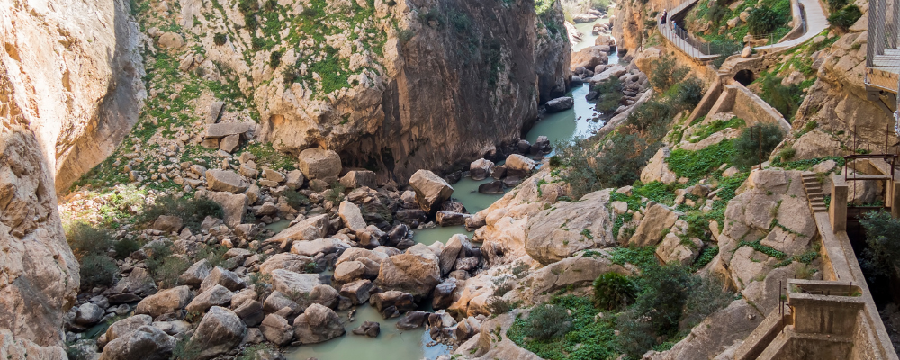
In this natural environment, a large number of villages were built, especially in the 19th century, thanks to the power of hydraulic infrastructure and electricity. This is why El Caminito del Rey is the path that runs through the natural landscape of the Gaitanes Gorge.
Where does El Caminito del Rey start and end?
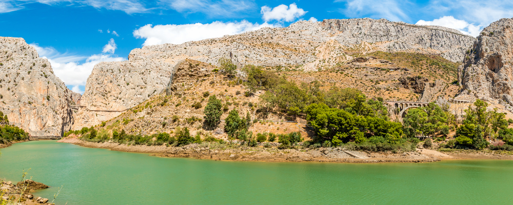
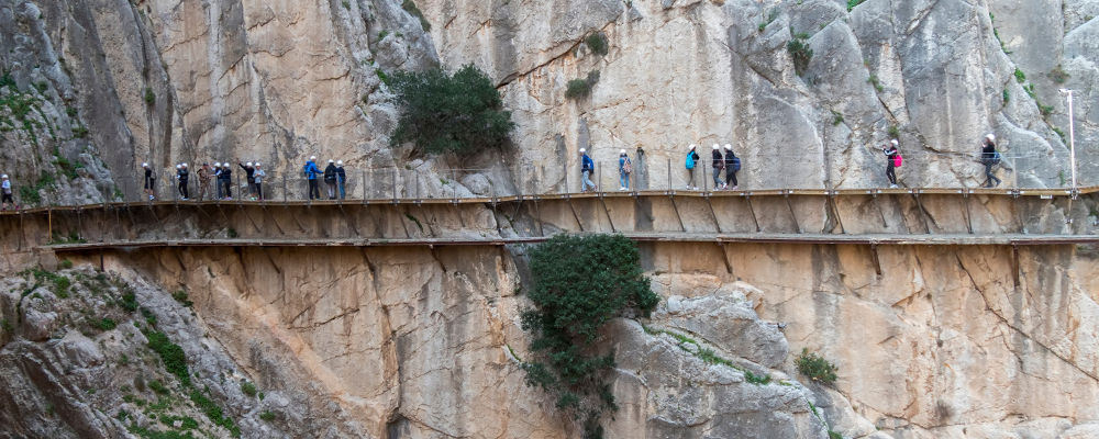
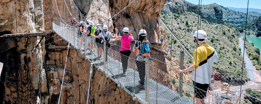
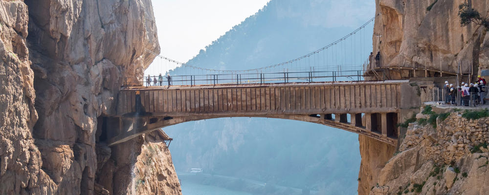
The route starts in the municipality of Árdales, then passes through Antequera, and finally ends in El Chorro (Alora). This path is suspended on the mountainside, 100 meters above the river.
How long does it take to do the Caminito del Rey?
The estimated time to complete the entire route at 100% is about 3 to 4 hours. However, it all depends on the pace, physical condition, or stops to be made. The complete route involves moving from one end of the walkway to the other, plus the forest trails or paths to enter and exit the area.
How much does it cost to enter the Caminito del Rey?
On the official website of the Caminito del Rey, they offer 4 different types of tickets that can be purchased:
- The general admission, which costs €10.
- The general admission with bus from Málaga, which costs €11.55.
- And the general admission with guided tour for a group of up to 20 people: €18.
- The guided tour with transportation: €19.55.
What is the best time to do the Caminito del Rey?
On average, the temperature is around 15-16 degrees Celsius. However, one should be cautious on rainy days. Therefore, the months of April and May are the best time to do the Caminito del Rey, as this avoids the extreme heat of summer.
Where to swim near the Caminito del Rey?
After a hike, it’s always nice to take a swim to cool off, especially if you’ve done the route during the summer. For this reason, if you want to beat the heat, you can’t miss the beach of Árdales. This inland beach is located 600 meters from the Caminito del Rey and will not leave you indifferent.
What is the difficulty level of the Caminito del Rey?
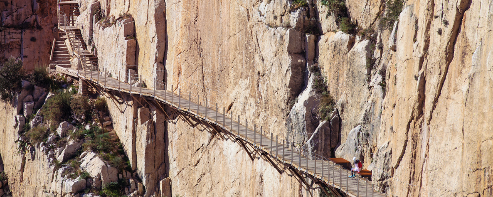
In reality, taking a stroll through the Caminito del Rey in Málaga is not a strenuous task at all. Furthermore, its difficulty level is moderate to low, making it a popular choice for those looking for a not very demanding stroll. However, it is always advisable to be in good shape, as during the walk we will encounter different slopes, ascents, stairs, in short, the typical obstacles of any route.
What to do after seeing the Caminito del Rey?
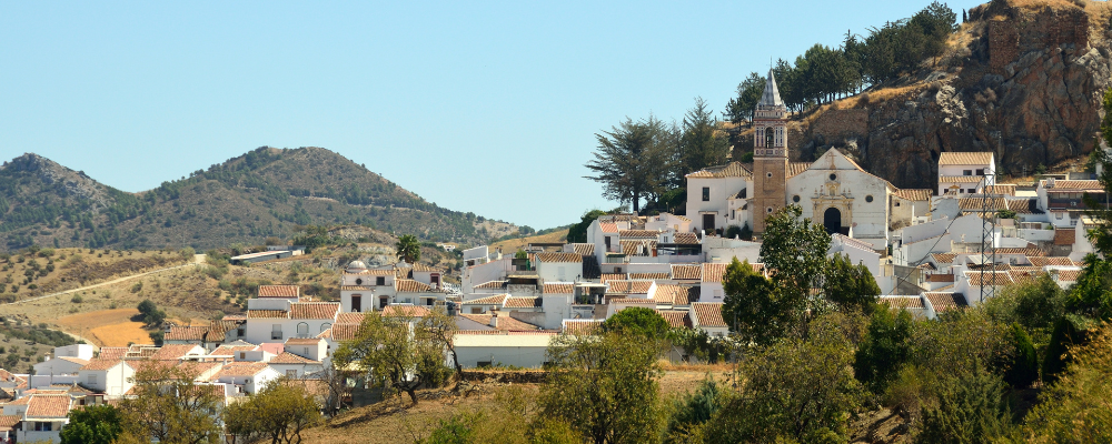
To conclude, if you’re eager to explore more of Málaga, don’t miss our recommendations for what to visit after seeing (or before) the Caminito del Rey. We suggest other points of interest and nearby villages:
- Natural Site of the Gaitanes Gorge
- Ruins of Bobastro
- Cave of Doña Trinidad
- Hermitage of Our Lady of Villaverde
- Great Path of Málaga.
- Sierra Huma
- The Chorro Reservoirs
- Active Triangle
- Alora
- Pizarra
- Casarabonela
- Carratraca
- Ardales
- Teba
Here are our recommendations for 7 things you didn’t know about El Caminito del Rey. We also invite you to explore all the experiences we offer at Runaway Experiences.